Recreating One of the World’s Biggest Books


Earlier this year, the British Library’s cartography department completed an ambitious project: they digitized one of the world’s biggest books, the massive copperplate maps contained within the historic Klencke Atlas in an effort to make them more accessible to the world at large.
Taking On a Tremendous Project
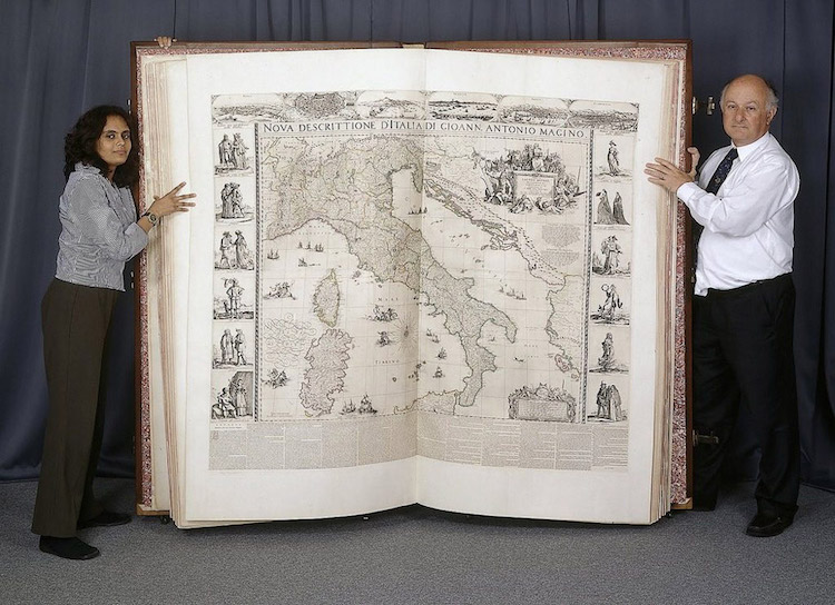
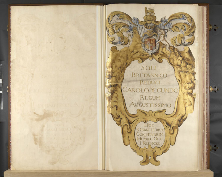
For over 350 years, the Klencke Atlas was considered to be the largest atlas in the world, measuring an impressive 5 feet 10 inches in height and 3 feet 10 inches in width. Requiring the strength of six men to even lift, the book was presented to King Charles II by a group of Dutch merchants upon his restoration to the English throne in 1660. The monarch then placed it in his “Cabinet of Curiosities,” which was presumably very large considering the fact that the atlas would’ve been taller than most people at this time!

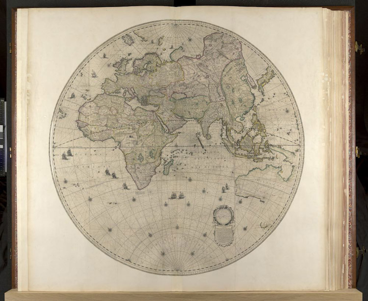
This sizable volume contains 41 copperplate maps and is named after Johannes Klencke, a major figure in the 17th-century Dutch sugar trade. In culmination, its pages provide an encyclopedic view of the then-known world.
In 2012, the Earth Platinum Atlas was published in Australia. Measuring 6 by 4-and-a-half feet, this atlas is bigger than the Klencke, and while it is beautiful, it is not necessarily better. After all, the Klencke Atlas is not just notable for its physical dimensions — it’s also a living testament to over three centuries of history.
Giving the Public its First Look

In 2010, the Klencke Atlas was opened publicly for the first time. The book was displayed alongside other cartographic feats as part of an exhibition on historic world maps. Nonetheless, seeing the Klencke’s pages still meant journeying all the way to the British Museum in London. Even then, people would only be able to look at the couple of copperplates the curators had opened it to. At over 6 feet wide when open, the Klencke doesn’t exactly lend itself to page-turning, anyway. Luckily for us, the library’s recent digitization efforts will allow anyone to scroll through high-resolution photographs of all 41 maps, completely free of charge.
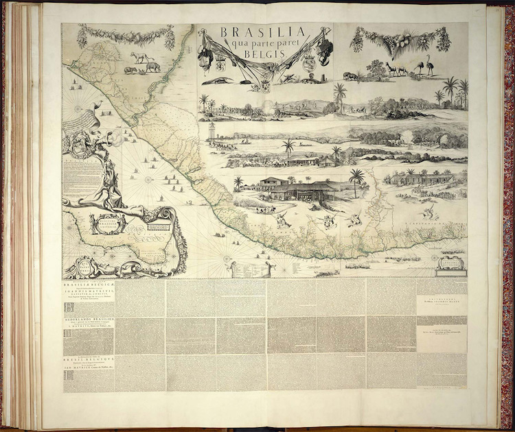
Tom Harper, the lead curator of antiquarian maps at the British Library, is justly proud of this achievement, which was undertaken to make the extremely rare manuscript more accessible to the public. “We digitized the atlas in order to increase access to the 41 maps which are contained in it, which are extremely rare — some known in only three surviving copies — but not terribly well known,” he explains, “Making the maps available free online enables researchers to study these miracles of Dutch cartography and increases our knowledge of the High Renaissance and beginnings of the scientific revolution in the 17th century.”
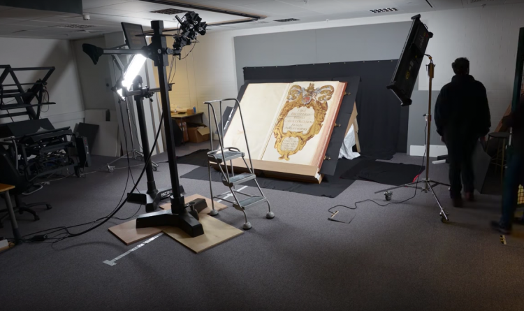
An Inside Look at the Process
The Klencke’s original copperplate maps were made to be displayed on walls, so only a small number of its pages were left undamaged to begin with. Since the digitization process required several people to be constantly repositioning the atlas on a central platform, two wheels were attached to its underside.
The Klencke project is only part of the library’s larger Picturing Places initiative, which aims to digitize historic images and “explore how [they] have shaped our view of the world from Roman antiquity to the modern age.”